
 Can Tho
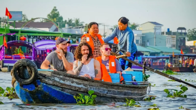

The Mekong Delta is easy to oversimplify.
For a short trip from Ho Chi Minh City, many travelers first encounter My Tho or Ben Tre. Can Tho is better known for Cai Rang Floating Market. Continue farther west and the landscape around Chau Doc, Tra Su and the Seven Mountains looks quite different. Dong Thap brings seasonal wetlands into the trip, while the southern part of the region eventually reaches mangrove forest and the coast around Ca Mau.
That difference matters when planning. The Mekong Delta is a region, not one attraction, and adding more stops does not necessarily make a better trip.
This Mekong Delta travel guide looks at where those differences actually matter: what you can experience, which areas suit different amounts of time, how the region has changed and how to move around once you are there.
If the Mekong Delta is one stop on a longer journey, our Vietnam travel guide covers essential information for planning the rest of your trip.
What Is the Mekong Delta and Where Is It?
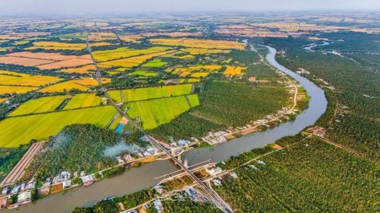
The Mekong Delta lies in southern Vietnam, where the lower Mekong and its waterways spread across a broad lowland before reaching the sea.
For travelers, it is more useful to think of the Delta as a large region than as a single destination. River cities, agricultural land, islands, wetlands, forests and coastal areas sit across a wide area, and the experience changes as you move through it.
Much of the Delta is flat, but not all of it. In western An Giang, Nui Sam, Nui Cam and the Seven Mountains rise above the surrounding plains. Farther south, freshwater landscapes gradually give way to mangrove forest and the coast around Ca Mau.
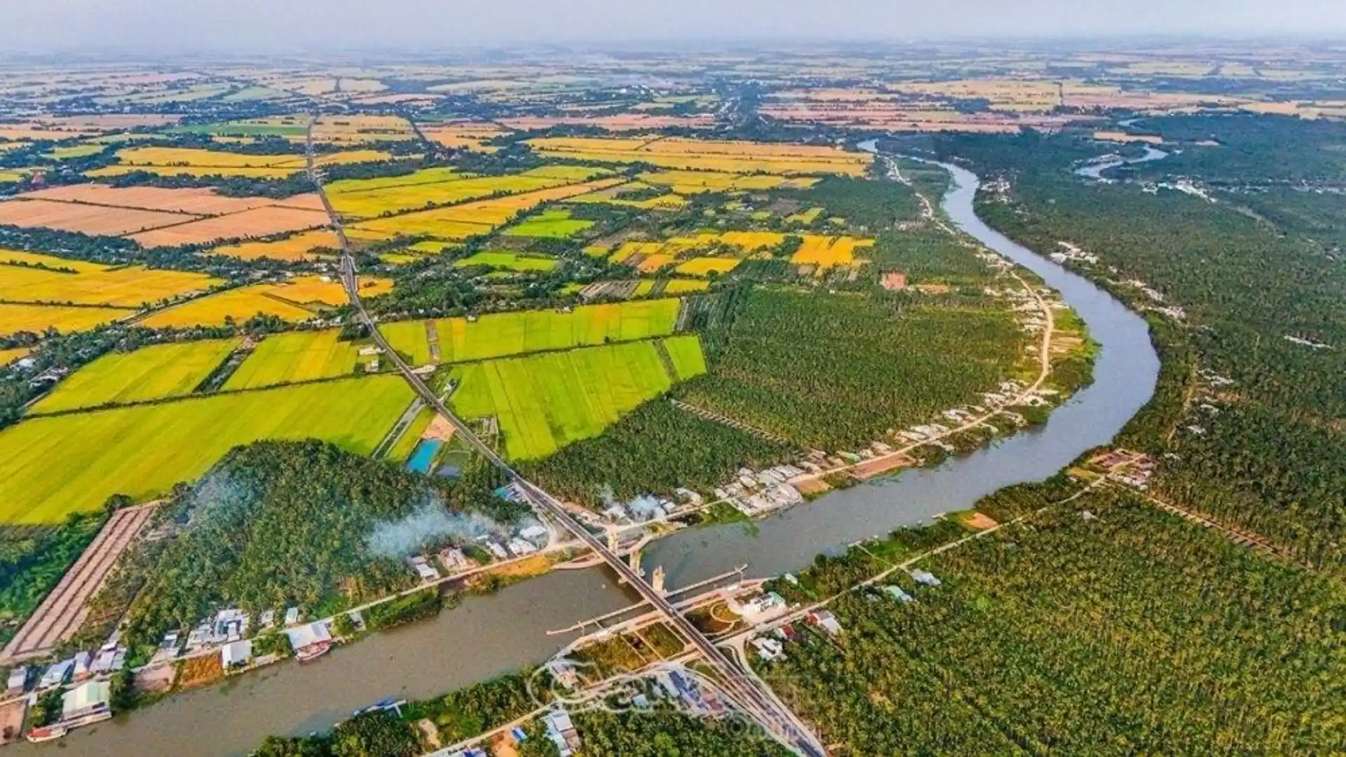
Places can also look closer on a map than they feel on the road. Traffic, bridges, ferries and rural roads can make an ambitious itinerary slower than expected.
What You Can Experience in the Mekong Delta
River travel is part of the picture, but it is not the whole trip.
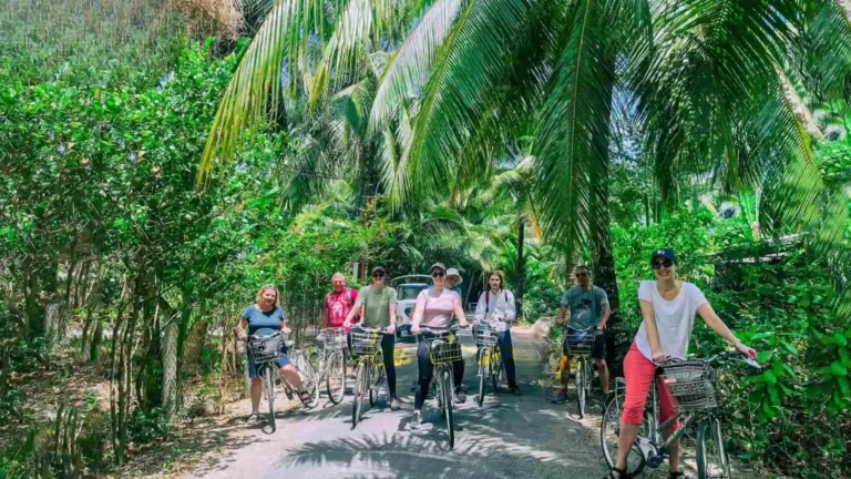
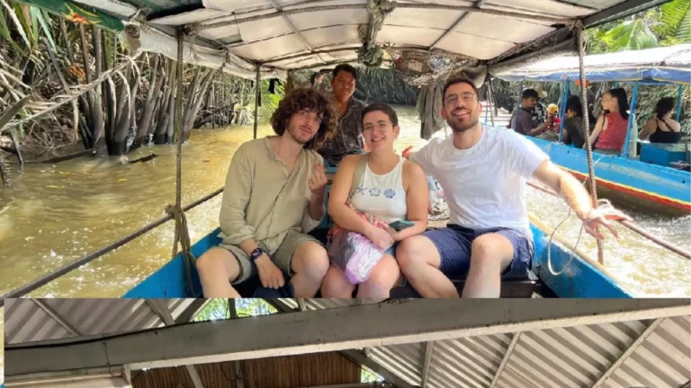
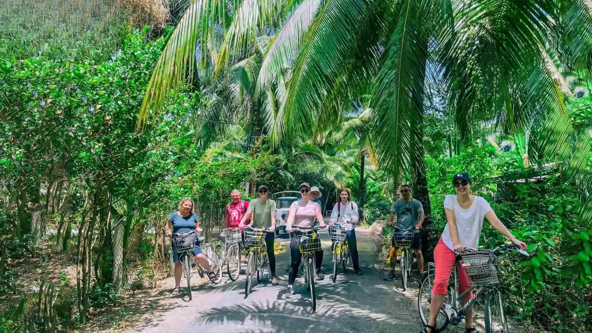
Around My Tho, Ben Tre, Cai Be and Vinh Long, smaller waterways run through orchards, coconut-growing areas and agricultural villages. Cycling also works well on quieter roads around these areas and some river islands.
Floating markets are another familiar part of the Delta, although current conditions matter. Cai Rang in Can Tho still operates as a working market. Cai Be’s regular commercial floating market does not.
Nature-focused trips look different again. Tram Chim and Gao Giong bring floodplain wetlands into the route. Tra Su is a seasonally flooded cajuput forest near Chau Doc, while the U Minh areas add other forest environments farther south. Water levels affect how some of these places look, and wildlife should not be expected to appear on demand.
The western Delta adds a landscape that is easy to miss when the region is described only through rivers and canals. Around Chau Doc, the Seven Mountains rise from the rice plains. Former Soc Trang and Tra Vinh add Khmer communities, temples, regional food and festivals, while Chau Doc also has a strong pilgrimage and border identity.
Farther south, Ca Mau takes the Delta toward estuaries, mangroves and the coast.
These differences are more useful for planning than trying to cover a fixed list of provinces.
Mekong Delta Today: What the New Map Means for Travelers
Vietnam changed its provincial-level administrative map in 2025, so older travel guides can now be confusing.
Under the current regional planning framework, the Mekong Delta comprises five provincial-level units: Can Tho, Vinh Long, Dong Thap, An Giang and Ca Mau.
Travelers will still encounter older and familiar names in attraction names, hotel listings, transport searches and itineraries. Ben Tre, My Tho, Soc Trang, Chau Doc and other established destination names remain useful even though the provincial structure has changed.
Mekong Delta Today: What the New Map Means for Travelers
| Current province/city | Familiar areas travelers may recognize |
| Can Tho | Can Tho, former Hau Giang, former Soc Trang |
| Vinh Long | Vinh Long, former Ben Tre, former Tra Vinh |
| Dong Thap | Dong Thap, former Tien Giang |
| An Giang | An Giang, former Kien Giang |
| Ca Mau | Ca Mau, former Bac Lieu |
Phu Quoc is now administratively part of An Giang, but it usually makes more sense to plan the island separately from a mainland Mekong Delta journey.
Older travel guides may also include Long An in the Delta. After the 2025 reorganization, the former Long An Province became part of the current Tay Ninh Province and is not one of the five provincial-level units in the current Mekong Delta regional framework.
Where to Go in the Mekong Delta
My Tho, Ben Tre and Cai Be
My Tho and Ben Tre make practical sense when time is limited.
A day in this area can combine the Tien River, river islands, smaller coconut-lined waterways and village activities without requiring an overnight stay. This is the logic behind Mekong Smile’s Mekong Delta Tour 1 Day: the route remains close enough to Ho Chi Minh City to leave useful time for the river and countryside.
Ben Tre is closely associated with coconut farming, although there is more to the area than the familiar coconut-candy workshop. Small roads, canals, family-run production and agricultural landscapes are also part of the trip.
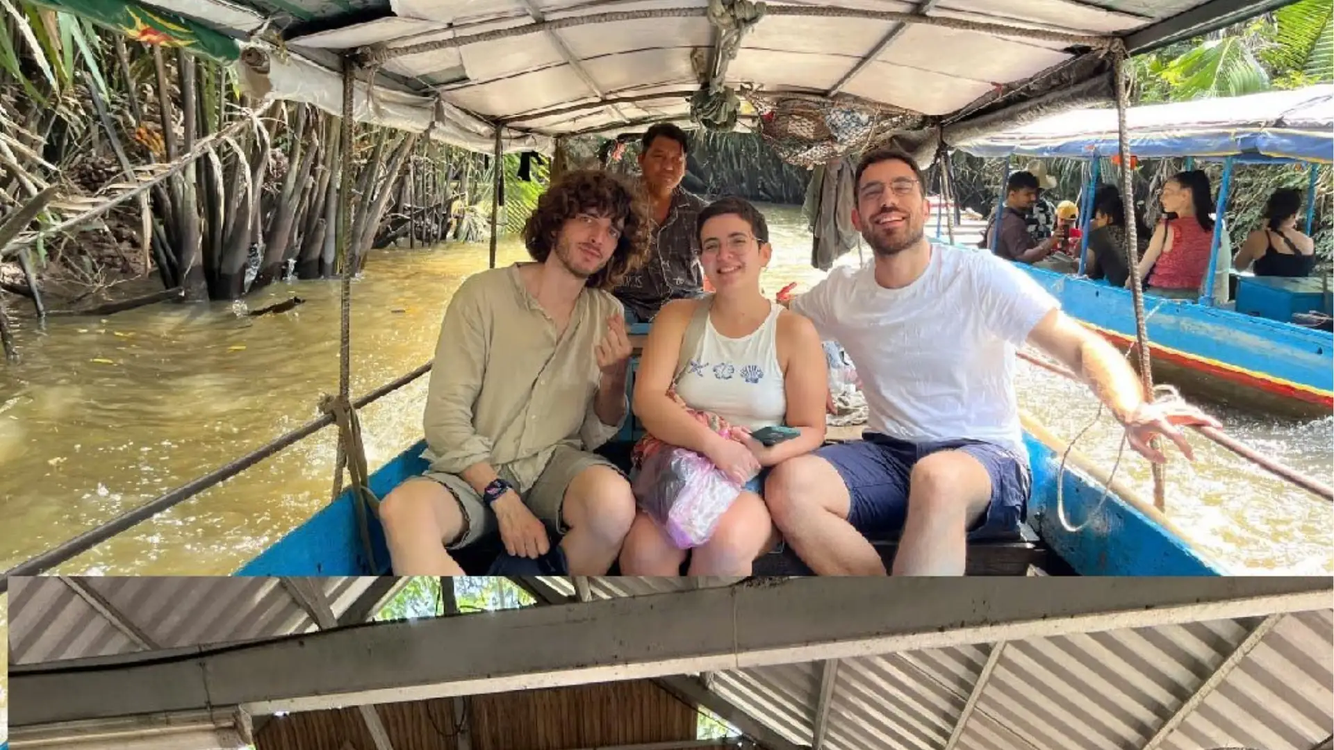
Travelers already staying farther west can explore the area separately through the Ben Tre Tour.
Cai Be needs a more careful explanation.
The floating market shown in older guidebooks no longer operates as a regular commercial floating market. Normal wholesale activity has ceased and traders have moved to other occupations. Cultural events may occasionally recreate part of the former market scene, but visitors should not expect daily trading boats to gather as they once did.
Cai Be is still relevant for orchards, Tan Phong Islet, cycling, small waterways and old houses in the surrounding countryside.
If you want to explore the city, river islands and nearby historical sites in more detail, see our guide to planning a trip to My Tho
Can Tho and Vinh Long
Can Tho works well as a base because it combines accommodation, restaurants and transport with access to the river. For many international travelers, Cai Rang Floating Market is the main reason to stay overnight.
Cai Rang still operates, although the scale of wholesale trading has declined over time as road transport has changed commerce across the Delta. It is better understood as a working market today than compared with photographs taken decades ago.
If the market is important to your trip, stay in Can Tho the night before. Leaving Ho Chi Minh City on the same morning means arriving after much of the useful trading period.
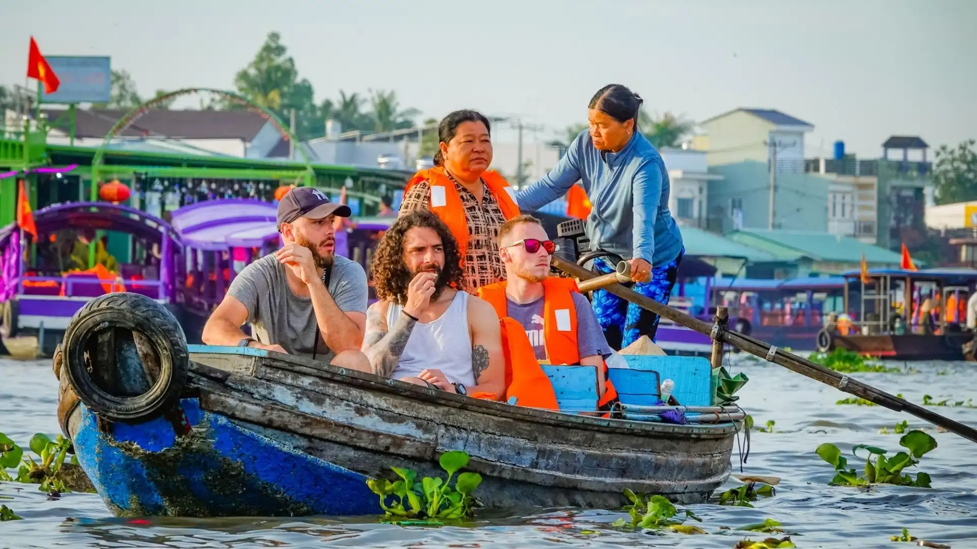
The Cai Rang Floating Market guide explains current conditions in more detail. The Cai Rang Floating Market Tour continues from the market to a traditional rice-noodle workshop, cacao farm, fruit garden and smaller canals.
For accommodation and the wider city, see the Can Tho Travel Guide.
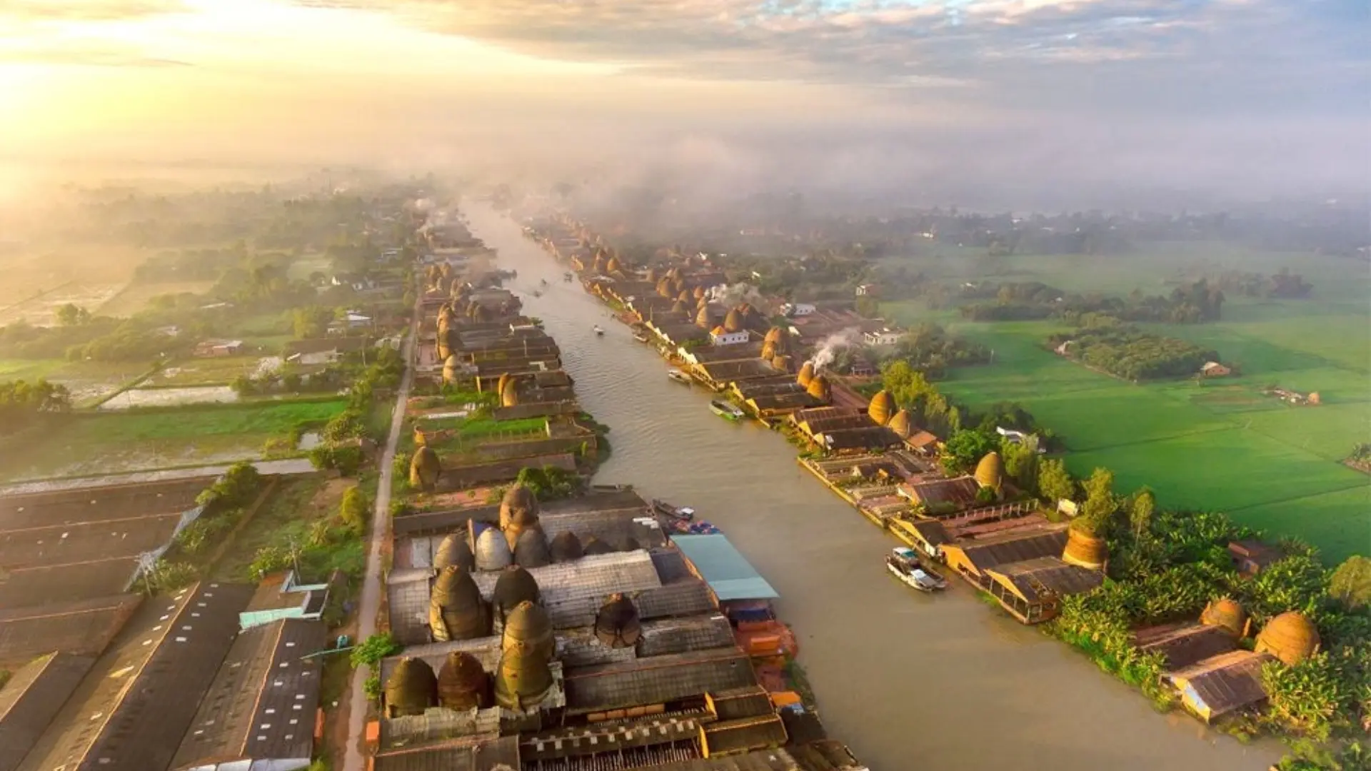
Vinh Long is quieter. River islands and orchards are part of its character, while the Mang Thit brick and pottery landscape gives the area a stronger craft identity.
The former Tra Vinh area, now within Vinh Long Province, adds Khmer communities, temples and sites around Ao Ba Om.
Dong Thap
Dong Thap becomes more relevant when the trip moves away from canals and toward wetlands.
Tram Chim National Park has a large wetland ecosystem and extensive birdlife. Gao Giong adds another wetland environment. Sa Dec is better known for flowers, horticulture and its river-town character.
The current Dong Thap Province also includes the former Tien Giang area, so My Tho and Cai Be now sit administratively in the same province as Tram Chim and Sa Dec.
That does not make them similar travel experiences.
Chau Doc, Tra Su and the Seven Mountains
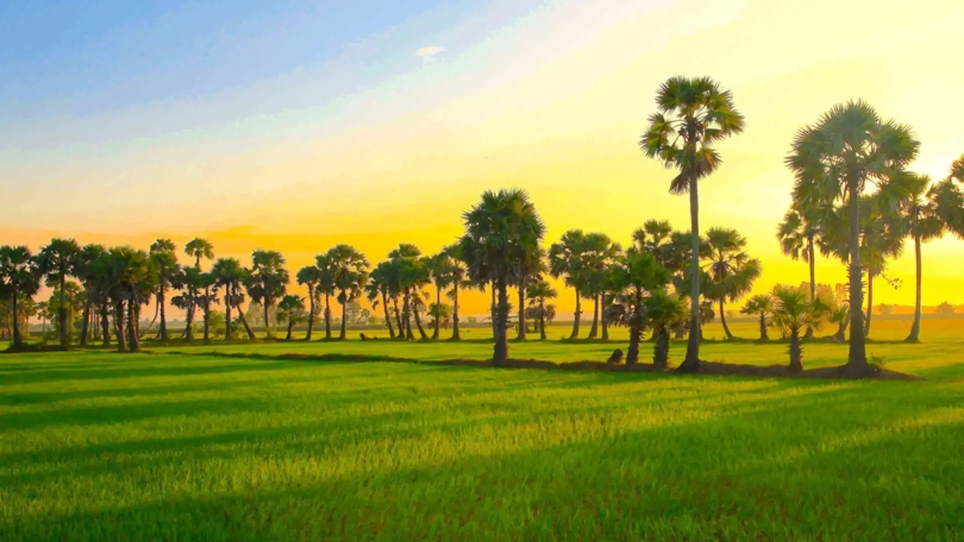
Western An Giang is the clearest reminder that the Mekong Delta is not completely flat.
Nui Sam, Nui Cam and the Seven Mountains rise from the rice plains around Chau Doc. The area combines viewpoints, pilgrimage sites and religious traditions that differ from the central river country.
Chau Doc itself has a strong river and border identity. Markets, religious sites and Cham communities are part of the local context, while Nui Sam is an important pilgrimage area.
For more detail, see the Chau Doc travel guide.
At Tra Su, small boats move through seasonally flooded cajuput forest rather than open commercial waterways. Water levels affect how the forest looks, so current conditions are worth checking before traveling. See the Tra Su Cajuput Forest guide for the latest visitor information.
The current An Giang Province also includes the former Kien Giang area, bringing Ha Tien, Rach Gia and U Minh Thuong into the same administrative unit.
Ha Tien becomes relevant on longer routes because the river and rice-plain landscape begins to give way to limestone hills and the coast.
Khmer Cultural Areas and the Far South
Short Mekong Delta itineraries often stop before this part of the region.
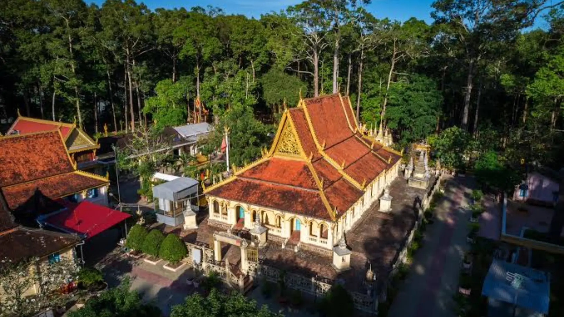
The former Soc Trang and Tra Vinh areas have strong Khmer communities, Buddhist temples, regional food and festivals. For travelers interested in culture, they offer a different reason to continue beyond My Tho and Can Tho.
Farther south, the environment changes again.
Ca Mau reaches the sea through estuaries, aquaculture areas and mangrove forest. Mui Ca Mau is the best-known geographic landmark, although the surrounding mangrove ecosystem and community tourism provide more context than simply reaching the endpoint itself.
U Minh Ha adds another forest environment. The former Bac Lieu area brings Khmer heritage, coastal landscapes and the cultural legacy associated with Cao Van Lau and southern traditional music.
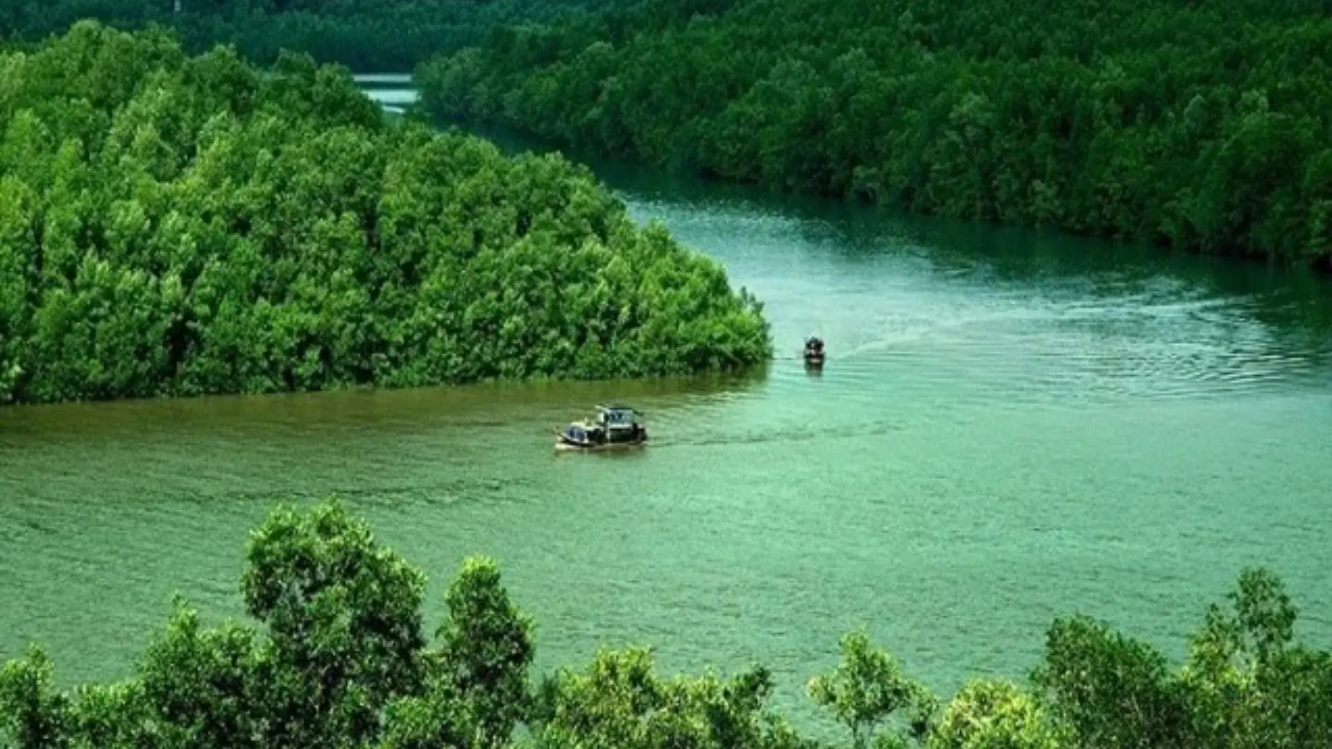
The main limitation here is time. Ca Mau fits better into a journey that deliberately continues south than into a short Can Tho itinerary.
How Many Days Do You Need in the Mekong Delta?
One day can work if the destination is chosen for a day trip. My Tho and Ben Tre are close enough to Ho Chi Minh City for that structure to make sense.
Cai Rang changes the calculation because the market is active early. An overnight in Can Tho is more practical.
A two-day route can therefore pass through Ben Tre on the first day, stay in Can Tho, visit Cai Rang the following morning and return through Cai Be countryside. Mekong Smile’s Mekong Delta 2 Day Tour follows that structure.
With three days, extra time does not have to mean another long transfer. It can be spent around Can Tho, smaller canals, countryside or Son Islet.
Four or five days give more room to add a place that changes the character of the trip. Chau Doc and Tra Su fit together. Tram Chim is another option for travelers prioritizing wetlands, while the former Soc Trang or Tra Vinh areas make more sense for those interested in Khmer heritage.
Ca Mau requires more travel and is better saved for a route that deliberately continues south.
The useful test is not how many provinces fit into the itinerary. It is whether the next stop adds enough to justify getting there.
When to Go
There is no single season that is best for every part of the Mekong Delta.
The drier period, broadly from November to April, usually makes road travel and outdoor sightseeing easier. The rainier months bring greener landscapes, heavier showers and changing water levels.
Higher water is not automatically a disadvantage. Wetland landscapes in Dong Thap and An Giang change during the flood season, so places such as Tra Su and Tram Chim are better considered according to local conditions rather than a simple rule that dry weather is always preferable.
Fruit seasons vary by crop and location.
Festivals also affect timing. Pilgrimage periods around Nui Sam bring larger crowds, while Khmer festivals can change the atmosphere in the southern Delta.
Choose the destinations first. Then check whether the season suits what you are going there to see.
For a more detailed look at rainfall, water levels, monthly conditions and how they affect different activities, see our guide to when to visit the Mekong Delta
Getting Around the Mekong Delta
Most longer journeys through the modern Delta are made by road, despite the region’s river identity.
Buses and private vehicles are practical between major towns. Boats matter most where the water itself is part of the experience: floating markets, islands, canals, river communities and wetlands.
Taxis and Ride-Hailing Apps
App-based transport is useful in a number of larger Mekong Delta cities and towns, but coverage varies.
Grab currently operates GrabCar services in Can Tho and in several other areas within the current Mekong Delta provinces. be lists beBike, beCar and beTaxi services across a number of southern destinations, including Can Tho, Vinh Long, Ca Mau and areas still listed under familiar pre-2025 names such as Kien Giang and Tien Giang. Green SM launched Green SM Bike in Can Tho in March 2026.
Availability should not be assumed everywhere. An app that is easy to use in a city center may have fewer drivers around rural attractions or wetland areas.
Traditional taxis and pre-arranged cars remain useful when a return journey starts far from a town.
Intercity Buses and Coaches
Buses and coaches are generally more useful for moving between towns than for local sightseeing.
FUTA Bus Lines (Phuong Trang) is one of the operators travelers may encounter on routes through southern Vietnam and the Mekong Delta. The FUTA booking system includes Can Tho and Long Xuyen among its routes.
After arriving at a bus station, another form of transport is usually needed for the final part of the journey.
Boats and Ferries
Boats are important, but not for every journey.
They make the most sense where the water itself is the destination or route: Cai Rang Floating Market, river islands, smaller canals and wetlands.
Ferries still form part of some local routes. For travelers, a ferry may simply be one section of a road journey rather than a separate sightseeing activity.
Cycling
Cycling works particularly well in quieter orchard and village areas around Ben Tre, Cai Be, Vinh Long and some river islands.
For many trips, the transport mix is straightforward: road travel for the longer distance, boats where waterways matter, then walking or cycling for shorter local sections.
Can Tho is a useful central hub. Chau Doc works for travelers continuing toward Cambodia, while Ha Tien and Rach Gia can connect a longer Delta journey with the Gulf of Thailand and island routes.
Some Mekong Delta Information Goes Out of Date Quickly
Floating markets are the clearest case.
Cai Rang still operates. Cai Be’s regular commercial floating market does not.
The change does not mean that the region has somehow become less “authentic”. Roads, bridges and modern logistics are part of how the Delta itself has changed.
Rural experiences also vary.
Orchards are working agricultural land, so fruit changes with the season. Wetlands depend on water levels. Heavy rain can change the appearance of a canal, and wildlife cannot be expected to appear on demand.
Mekong Smile has operated from Can Tho since 2017. Destination content is updated using information from places and routes the team works with, alongside official sources when public information changes.
The purpose is not to make every stop sound equally impressive. Some places suit short first trips; others only make sense when there is enough time to travel farther.
Planning the Route
With one free day, My Tho and Ben Tre remain practical from Ho Chi Minh City.
If a working floating market is the priority, stay in Can Tho and plan around Cai Rang’s early hours.
For wetlands and nature, the route can move toward Tram Chim, Tra Su or Lung Ngoc Hoang.
For culture and pilgrimage, Chau Doc, Nui Sam and the Khmer areas around the former Soc Trang and Tra Vinh regions add a different type of stop.
Ca Mau belongs more naturally to a longer journey toward the southern mangrove coast.
Current Mekong Smile routes can be compared on the Mekong Delta tours page.
A longer itinerary is useful only when the extra distance changes what you actually experience.
